
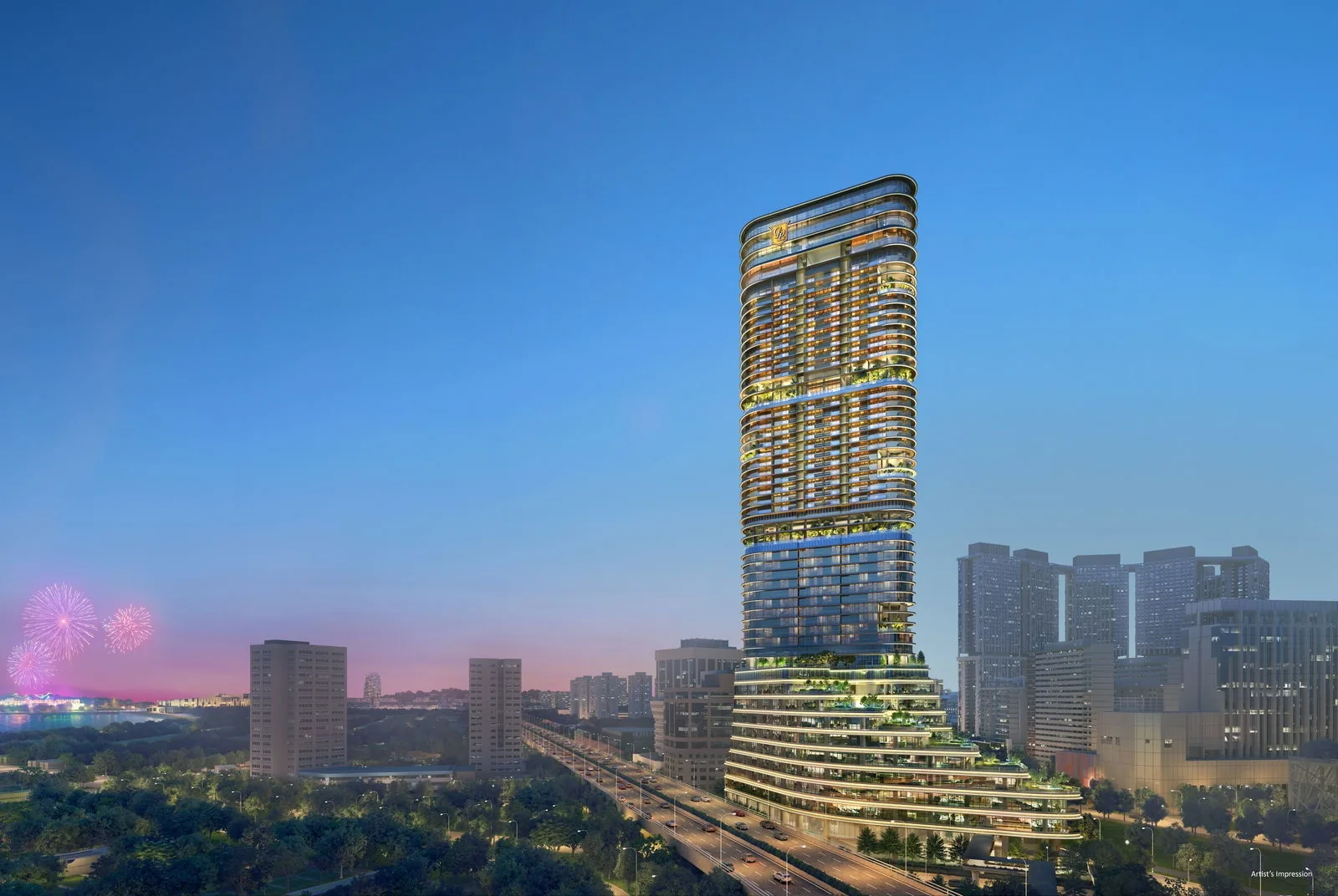
 Artist’s impression
Newport Residences and Prince Edward Road MRT
The nearest MRT station to Newport Residences is Prince Edward Road (CC32) on the Circle Line, and the developer describes a link bridge towards it from the elevated pedestrian link at the podium of Newport Plaza. On OneMap, the station’s Exit 1 is about 220 metres from the site in a straight line.
Two more stations are within walking distance, as the developer sets out: Cantonment (CC31), also on the Circle Line, and Tanjong Pagar (EW15) on the East-West Line. That gives residents three stations and two lines on foot, and the closest of them, Prince Edward Road, is also the most direct.
| Station | Line | Straight line from the site |
|---|---|---|
| Prince Edward Road (CC32), Exit 1 | Circle Line | about 220 metres |
| Tanjong Pagar (EW15), Exit A | East-West Line | about 380 metres |
| Cantonment (CC31), Exit 3 | Circle Line | about 610 metres |
| Maxwell (TE18), Exit 3 | Thomson-East Coast Line | about 770 metres |
| Shenton Way (TE19), Exit 6 | Thomson-East Coast Line | about 870 metres |
| Raffles Place (EW14, NS26) | East-West and North-South Lines | about 1.5 kilometres |
Measured on OneMap (SLA) from the site; walking routes are longer.
Prince Edward Road Station Beside Newport Residences
Prince Edward Road station opened on 12 July 2026, when the Land Transport Authority brought Circle Line Stage 6 into service with three new stations between HarbourFront and Marina Bay: Keppel (CC30), Cantonment (CC31) and Prince Edward Road (CC32). The LTA describes the station as 30 metres deep, with two entrances and a design that draws on the old waterfront and the seafaring communities of the area, a fitting neighbour for a tower named after a port city.
The opening closed the Circle Line loop. From Prince Edward Road, residents can ride round to HarbourFront and Sentosa in one direction, and to Marina Bay, the Esplanade, Bishan and Holland Village in the other, without changing trains.
Tanjong Pagar Station and the East-West Line from Newport Residences
Tanjong Pagar (EW15) lies under the heart of the district, with Exit A about 380 metres from the site. From there the East-West Line runs one stop to Raffles Place and two to City Hall, east towards Tampines and the Changi Airport branch, and west through Outram Park to Jurong East. Outram Park connects to the North East Line and the Thomson-East Coast Line.
The Thomson-East Coast Line is close at hand as well. Maxwell station’s Exit 3 is about 770 metres from the site and Shenton Way’s Exit 6 about 870 metres, both straight lines on OneMap, and from Maxwell the line runs to Outram Park, Orchard and Woodlands.
Commuting on Foot from Newport Residences
For residents who work in the financial district, the commute can be a walk: Anson Road, Shenton Way and Tanjong Pagar hold the office towers within a short walk of the tower, and Raffles Place station is about 1.5 kilometres away. For everyday errands, the 100 AM mall is about 150 metres from the site and Maxwell Food Centre about 800 metres.
The distances on this site are straight lines, and walking routes are longer. The developer gives no walking times, so the figures are a guide rather than a timetable; the location page with the map and every distance is the place to plan a route.
Weekends by Rail from Newport Residences
The completed Circle Line changes weekends as much as weekdays. From Prince Edward Road, a ride round the loop reaches HarbourFront and Sentosa, and VivoCity is about 2.6 kilometres from the site in a straight line. In the other direction the Esplanade and Promenade are a direct ride away, and Marina Bay Sands, about 2.1 kilometres from the site, and Gardens by the Bay, about 2.7 kilometres, are within reach too.
From Tanjong Pagar, the East-West Line reaches City Hall in two stops, for the National Gallery and the National Museum in the Civic District. Closer to home, the Rail Corridor begins at the former railway station a little to the west and runs north across the island, and Maxwell Food Centre and Lau Pa Sat, about 800 metres and 1.1 kilometres away, are within reach without a train.
Driving, Taxis and Cycling at Newport Residences
For drivers, the Ayer Rajah Expressway runs past the tower towards the west, and the Marina Coastal Expressway is close by for the east coast and the airport. The residential car park has 131 lots, including 3 accessible lots, and the entrance to the basement car park is at street level.
The developer’s plan shows a taxi stand and a pick-up and drop-off point beside the residential lobby, short-term bicycle parking at street level and an elevated pedestrian link on the mezzanine level. Among its green features, the development also provides bicycle parking and electric vehicle charging stations.
The guide to the three MRT stations near the tower covers each line in more detail, and the CBD and Marina Bay guide looks at the district to the east.
General information as at the date shown; it is not financial, legal or tax advice. Particulars of Newport Residences come from the developer’s e-brochure, project briefing and schematic diagram and CDL’s news release; statutory figures are those on this site’s financing pages, and distances are straight lines measured on OneMap. Sources: the developer’s e-brochure and site plan, the CDL news release of 14 January 2026, the LTA and OneMap, as set out on this site’s location page and MRT guide.
Questions About Newport Residences? Ask the Sales Concierge
The Sales Concierge sends the price list on request, the homes still available and the e-brochure for Newport Residences. Showflat viewings are arranged by appointment through the Sales Concierge.